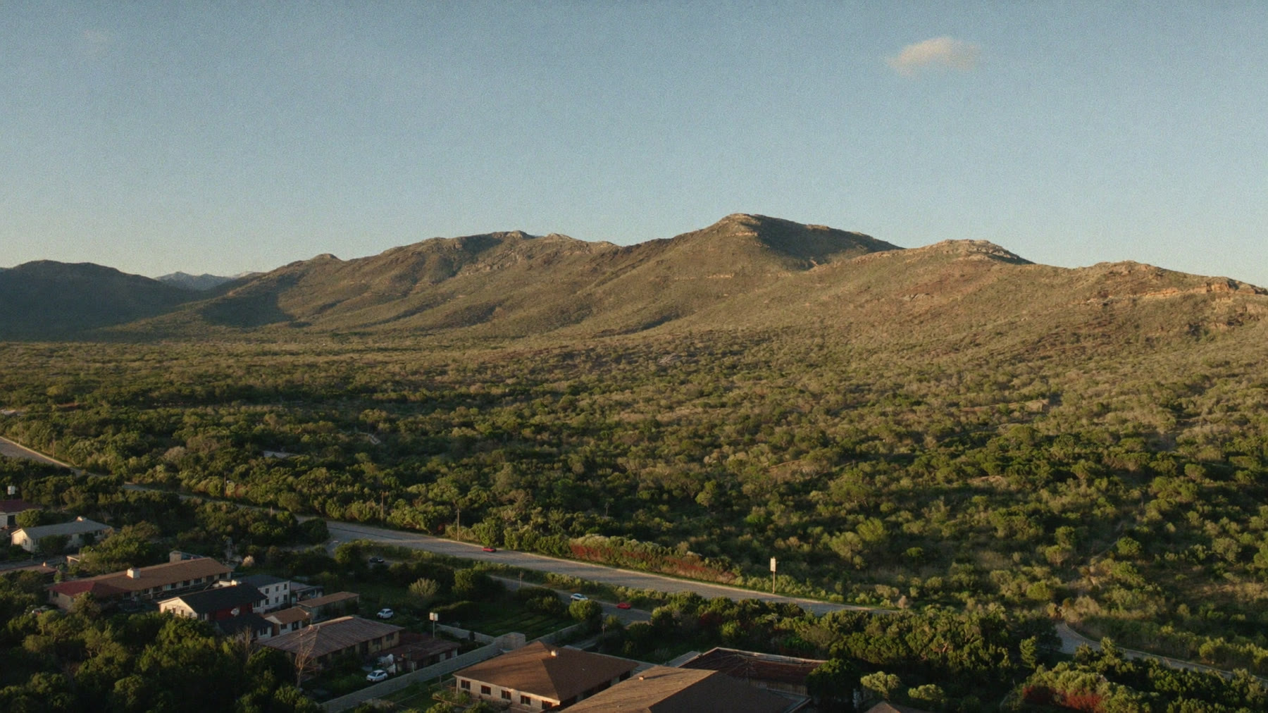
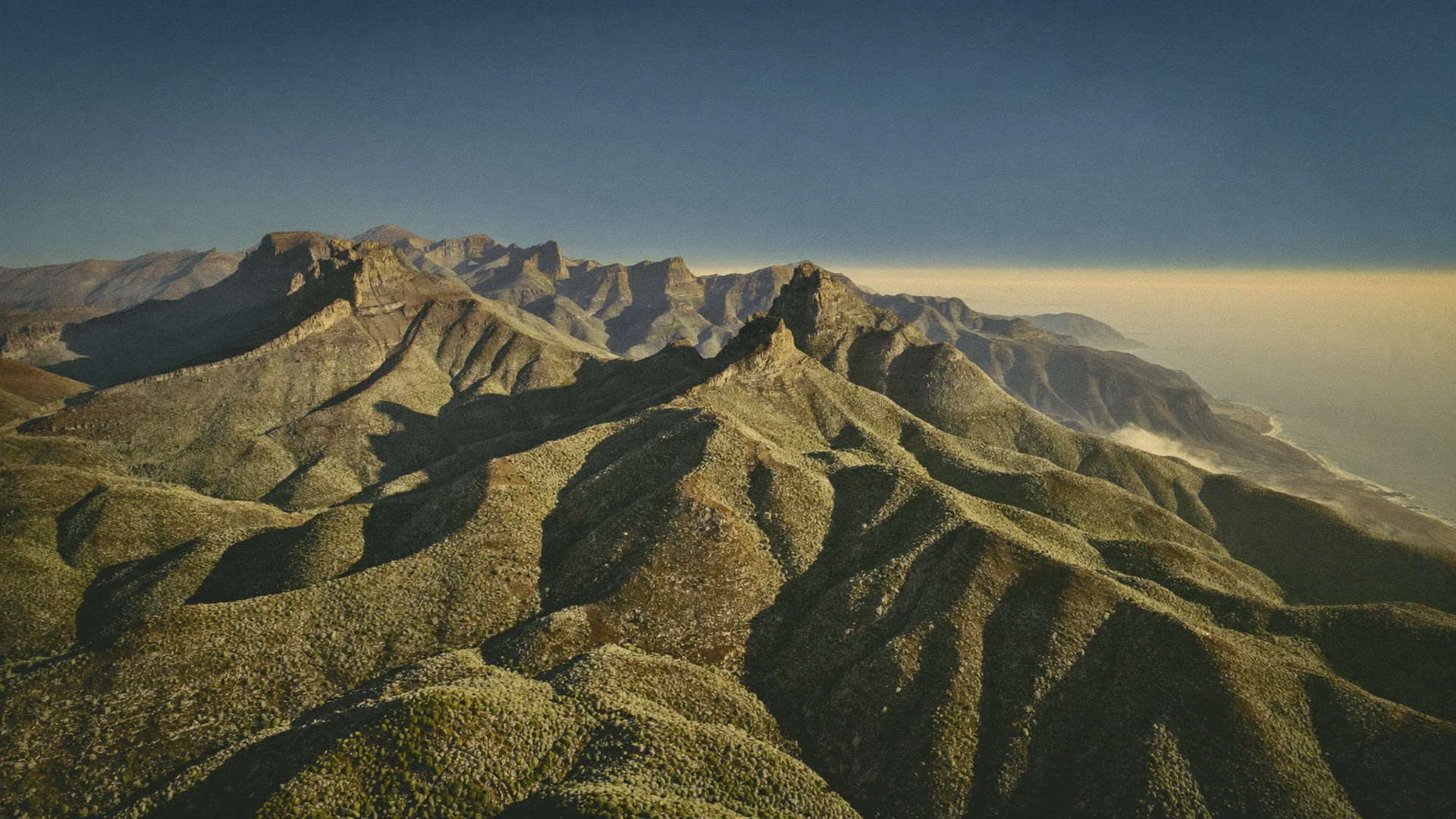
The interface between settlement and open country is where a wildfire becomes a public safety problem. Watching it should not depend on someone phoning it in.
Most ignitions are still reported by whoever sees them
That is the honest state of things in most municipal areas. It means detection depends on who happens to be awake, outdoors and facing the right way. Continuous thermal monitoring replaces that with something that does not blink, does not go off shift and covers the whole jurisdiction rather than the parts people drive through.
The interface is where the cost is
Veld burns every year and most of it costs nobody anything. The fires that become incidents are the ones that reach the edge of settlement, and that edge is longer and more complicated than a map suggests. Formal suburbs against a mountain slope. Smallholdings on the town boundary. Informal settlements built right up to open ground, where the structures are close together and the wind decides how far it goes.
Watching that boundary continuously is a different proposition to watching the whole district. It is where the difference between an early call and a late one is measured in structures rather than in hectares.
Dispatch is a decision about scarcity
On a bad day the constraint is not information, it is appliances. Two calls come in and you have one crew. Which one you send it to is a judgement made on incomplete facts under time pressure, and the cost of getting it wrong is not evenly distributed.
Knowing the location of each fire, the ground it is standing in and where the front is likely to run over the next hours turns that judgement into a comparison. It does not make the decision for you, and it does not create a second crew. It gives the officer making the call something better than two descriptions over the radio.
Ground like this sits inside municipal boundaries. There is no tower on the ridge and no sensor in the gully.
Mutual aid works better from one picture
Fire Protection Associations and neighbouring municipalities coordinate people who work for different organisations and answer to different managers. Most of the friction in that coordination is not unwillingness, it is that everyone is working from a different account of what is happening.
A single common view of where fires are, updated the same way for everyone, removes a good deal of that. It also stops two teams responding to the same column of smoke from opposite directions, which happens more often than anybody writes down. The same argument applies to the commercial growers in your area, who are usually FPA members and usually have equipment worth coordinating with.
The statutory side of the record
The National Veld and Forest Fire Act sets the framework South African municipalities and landowners work inside, including the role of Fire Protection Associations and duties around firebreaks and readiness. Where a fire crosses a boundary, the question of where it started and which way it ran stops being operational and becomes a matter of record.
Burn scar mapping and ignition timing produce that record independently of any party to the argument. It is the same evidence an insurer or loss adjuster would want, and having it does not depend on whose officer wrote the incident report.
Built around how you already work
Your own boundaries define the monitored area, alerts arrive on the channels your people already use, and the detections can push into the mapping systems you already run. Nobody is asked to abandon a process that works in order to adopt a new screen, and there is no hardware to install, maintain or replace after a season in the sun.
STRAIGHT ANSWERS
What Fire And Disaster Teams Ask Us
How soon would we know about a fire on the urban edge?
Detection comes from satellite passes rather than from a call, so the timing depends on the pass rather than on who is watching. It is worth walking through against your own area on a demo, because the honest answer varies with location and conditions.
Can it help us decide which fire to send the appliance to?
It gives you the location of each, the ground each is standing in, and a projection of where each front is likely to run. The decision stays with your officer. What changes is that it is made from a comparison rather than from two radio descriptions.
Does this help with our duties under the Veld and Forest Fire Act?
It gives you an independent record of ignition, extent and progression, which is the part of those duties that usually comes down to evidence after the event. How you apply that to your obligations is a question for your legal advisers, not for us.
Can neighbouring municipalities and FPA members see the same picture?
Yes. The monitored area is a shape, not a boundary register, and access can be shared across the organisations that need it.
What about informal settlements?
Thermal detection sees heat wherever it is. The harder problem there is the speed at which fire moves between structures, which is why the value sits in the earliest possible notification rather than in anything the monitoring does afterwards.
Do we need to install anything?
No masts, no sensors, no cameras. The monitoring is from orbit and the platform runs in a browser, so there is nothing on the ground to maintain or to have stolen.
BOOK A LIVE DEMO
See Your Own Ground.
Send us the ground you are responsible for. We will run the platform over your actual coordinates and show you what the last fire season looked like from orbit.